Tech Teams Aim to Keep Austin Moving
[ad_1]
✕

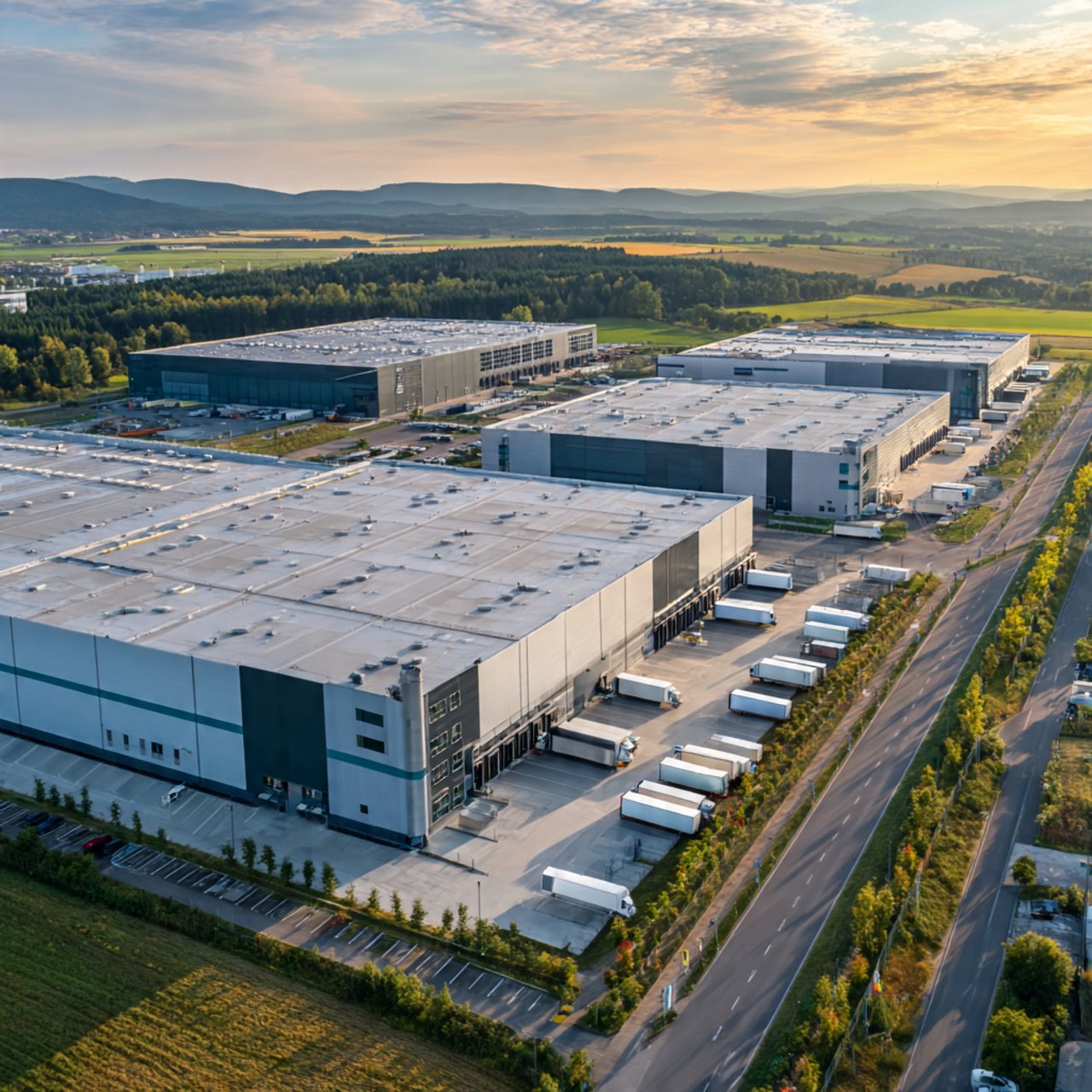
The Network Modeling Center at the University of Texas has contributed a heat map tool to the CPP’s shared platform that may help manage traffic as construction ramps up on the Capital Express Central project.
Graphic courtesy of Natalia Ruiz Juri/Network Modeling Center
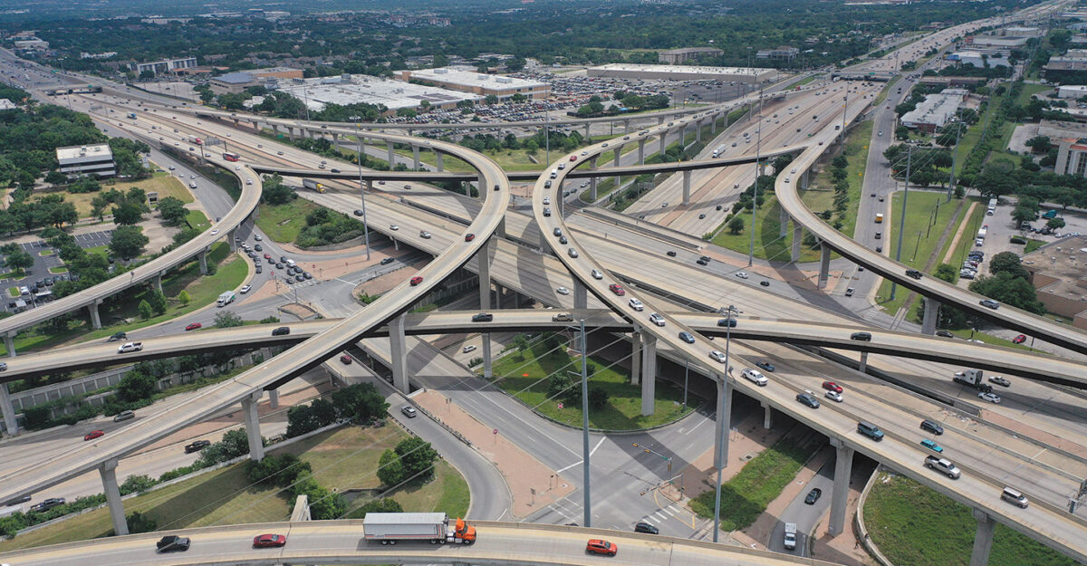
Interstate 35 serves as the backbone of the Central Texas region, with 45% of Texans living along its 504-mile corridor. With 35 major infrastructure projects valued at more than $20 billion scheduled over the next 10 years in the region, I-35 will also be the backbone of a multi-agency collaboration through a bidirectional construction data platform.
The Central Texas Construction Partnership (CPP) consists of the Texas Dept. of Transportation (TxDOT), the Austin Transit Partnership (ATP), the Central Texas Regional Mobility Authority, CapMetro, the Capital Area Metropolitan Planning Organization (CAMPO), Travis County’s Transportation and Natural Resources (TNR) Public Works Division and the City of Austin Transportation and Public Works Department (TPW). As construction on multiple projects ramps up, the platform will aim to enhance roadway safety, coordinate work activities between the projects and keep the public informed.
At the heart of all the upcoming work is I-35’s $4.5-billion Capital Express Central program, to be completed in six projects. Harper Brothers LLC broke ground last fall on the first project, a $34.4-million reconstruction of the MLK Boulevard Bridge. Overall, the program aims to widen and improve eight miles of the freeway including the addition of two high-occupancy-vehicle managed lanes in each direction; removal of upper decks; lowering of lanes below ground and capping over the freeway in specific areas to improve traffic flow and safety in downtown Austin. It will also add almost 20 miles of shared-use paths and 13 new connections to the city’s urban trail and bicycle network, and build two new drainage tunnels and a pump station, at an estimated cost of $748 million.


The heat map tool contributed by the The Network Modeling Center helps the CPP’s shared platform and may help manage traffic as construction ramps up on the Capital Express Central project.
Photo courtesy of TxDOT
At the same time, the city of Austin is planning $325 million in projects next year, and the Austin Transit Partnership hopes to commence construction on a 9.8-mile, 15-station, $7-billion light rail system in 2027. Additionally, the city’s convention center is about to undergo a $1.6-billion overhaul.
“We have transformational, generational projects going on,” says Miguel Arellano, deputy district engineer with TxDOT. “For the next ten years, we need to salsa dance pretty well together. We need to coordinate and be transparent to the public. How do we coordinate and operate as one region?”
George Villarreal, AtkinsRéalis senior division manager, is also a former TxDOT deputy director of traffic safety. Contacted by the Austin regional office to work on tech implementation, “we brainstormed what we can do before all this construction,” he says. “I met with the city of Austin and all the local agencies.”

The first step for the collaboration platform was to achieve minimum viable product status with minimal security clearances required and integrate publicly available traffic data, he says. “It was a simple use case: every [agency] has their own Intelligent Transportation System, but there was nowhere for the public to see a single spot for messages from all agencies.”
CPP launched the website CTXgo.com and the CTXGO mobile app, which pulls information from the platform and adds in real-time traffic conditions including congestion, incidents, cameras and travel times to help motorists make informed decisions.
The agencies signed an MOU last year committing to invest in the technology being provided by Atkins- Réalis through a $2.4-million, three-year contract with TxDOT. CPP members input closures, detours and construction activity information into the data platform, which serves as a clearinghouse of information.


The Capital Express Central Project aims to cap parts of I-35 to provide connections between parts of Austin while also providing more lanes to accommodate growing traffic.
Renderings courtesy of TxDOT
“The MOU set the stage for a lot of the partners,” says Villarreal. “Buy-in was critical. The leadership agreeing on the MOU enabled tactical-level staff to say, ‘yes, we’re sharing data.”’ The CPP is now developing an interlocal agency agreement and legal review of the cost-sharing model, he adds.
“We have transformational, generational projects going on … for the next ten years, we need to salsa dance pretty well together.”
Miguel Arellano, TxDOT deputy district engineer, on the Central Texas Partnership and its data platform.
TxDOT has committed to funding 50% of the first two years and other CPP partners will step up to address the impacts of their projects as they arise in the following years. CAMPO contributed $633 million to the effort, says Ashby Johnson, CAMPO executive director with the metropolitan planning organization that covers six counties, noting that it was already working with TxDOT on other initiatives including a new traffic management center (TMC). “We were already talking about a unified platform via the TMC…. We will use a lot of the tools developed and lessons learned under the CPP.”
As construction ramps up, the platform can be used for crews on one project to inform others of a lane closure or other activity that might impact other projects. This is crucial for I-35 through downtown Austin, because the only other detours available would be parallel routes. In a potential scenario, “most of our major roads run north-south; we have five key routes. Four of those could be under construction [at the same time],” says Jim Dale, City of Austin deputy director for public works and transportation. “TxDOT might close northbound lanes on I-35. ATP could be closing parallel Congress Avenue. We could be closing lanes on Lamar [Boulevard]. If all that happened, we don’t have a way to know that today.”
This is where the shared CPP platform comes in. “By knowing that’s going to happen, we can get project owners together to talk about adjusting schedules, and then come out with one voice to the public about what the impacts will be and any suggestions to help minimize that impact.”

Among the more than $20 billion in construction planned for Austin is a new light rail system.
Images courtesy of Austin Transit Partnership
Holistic Approach
The platform feeds data into the app, including from TxDOT’s ESRI-based workzone management tool, says Villarreal. If CPP agencies don’t have existing tech tools, “we are providing it to them,” he adds. “They can enter all their construction plans and limits. If a project is going on … and there is a lane closure, it can autopopulate [in the platform], and when the closure goes into effect, it automatically time-stamps it.” The information is automatically loaded into the mobile app, as well as the current TMC’s artificial intelligence-based data tool.
“We developed a regional workzone exchange that reports to the Federal Highway Administration,” says Villarreal. “[FHWA] publishes a feed for the region, and third-party mapping companies can pick it up. We’re trying to share information as timely and accurately as possible to the biggest audience possible.”
Next steps include developing an AI tool that can give top managers a quick summary of a current situation by pulling in information from weather reports, traffic incidents, construction activity and other sources, says Villarreal. “We want to use the platform as a foundation for a new transportation regional management center,” he adds. Each agency will feed its traffic information into the same location. “As more datasets get in there, they will be curated by actual traffic engineers who will overlay different applications on the platform to help the region.”
He describes a scenario similar to Ashby Johnson’s, where CapMetro might be conducting at-grade crossing construction intersected by a city street and parallel to a TxDOT road, all also undergoing work. That collective data can then help agencies be aware of potential conflict, and the appropriate CPP committees can then figure out how to rephase the construction activities.
The platform also includes a tool developed by the University of Texas’ Network Modeling Center that predicts the traffic impacts of construction zones. “It’s still at the prototype level, but we developed tools to see a heat map of what times of day there is congestion and where,” says Natalia Ruiz Juri, the center’s director. The goal is to predict delays associated with lane closures. “We can do that now for smaller projects,” she notes. When multiple construction projects are occurring, the challenge will be to predict congestion simultaneously and figure out the timing of closures.

Villarreal (center) worked with agency representatives to help get them comfortable with the new platform.
Photo Courtesy of atkinsrealis
The city inevitably must collaborate with other agencies as it moves forward with its capital program, notes Dale. Plans include a “cap and stitch” of parts of I-35 where East Austin can be reconnected to the city’s downtown via a park replacing upper decks of the highway, which will require collaborating with TxDOT. Moreover, “We’re working closely with Austin Transit Partnership on redesign of the roadway to help knit all these things together on the surface streets and intersections. Our job is to work as one system, and this [platform] takes us to the next level of coordination,” he adds. “We do a good job on design coordination, but this is about going into actual construction.”
Dale hopes the app will eventually inform “mobility as a service” for the public, including potential incentives to take transit and better informing communities about planned construction on their streets. “Within the city, we’ll have about 3,500 permits on any given day for people working in the right of way,” he notes. “We will need to provide more details on those projects—especially in the downtown and university areas and neighborhoods that might feel pinned in.” The TMC could eventually adjust signal timings when, for example, traffic is diverted from I-35 onto frontage roads but starts backing up at an exit ramp onto that road due to congestion, he adds.
Arellano hopes one day “you can plan your whole week [of travel] ahead” in the app, based on closures and congestion patterns, with AI-generated social media messages providing updates in real time.
Congestion management will be inevitable, given the level of construction set for Austin. One of the country’s fastest-growing cities by population, it has more than 2.5 million in the metro area and almost 1 million in the city itself. Austin sees more than 30 million visitors annually, with the popular South by Southwest festival alone bringing in over 300,000 people.
“The technology is there—it’s not the problem. It’s a people and processes problem,” says Villarreal, noting that while each CPP member works differently, “They’re willing to set aside their differences and look at regional goals.”
[ad_2]
Source link
Industrial Buildings Design & Construction in Lahore | ACCO
Complete Industrial Construction Solutions 2026 | ACCO Pakistan
Industrial Infrastructure Design & Build 2026 | ACCO Pakistan
Turnkey Factory & Plant Construction 2026 | ACCO Pakistan
Post a Comment
You must be logged in to post a comment.